Main shoreline
Lake plan: 2007Rock with sandy pockets
The lake plan describes rocky outcrops, treed slopes and scattered natural sandy beaches. A cottage on this lake does not automatically have a sandy entry.
Read the shoreline description ↗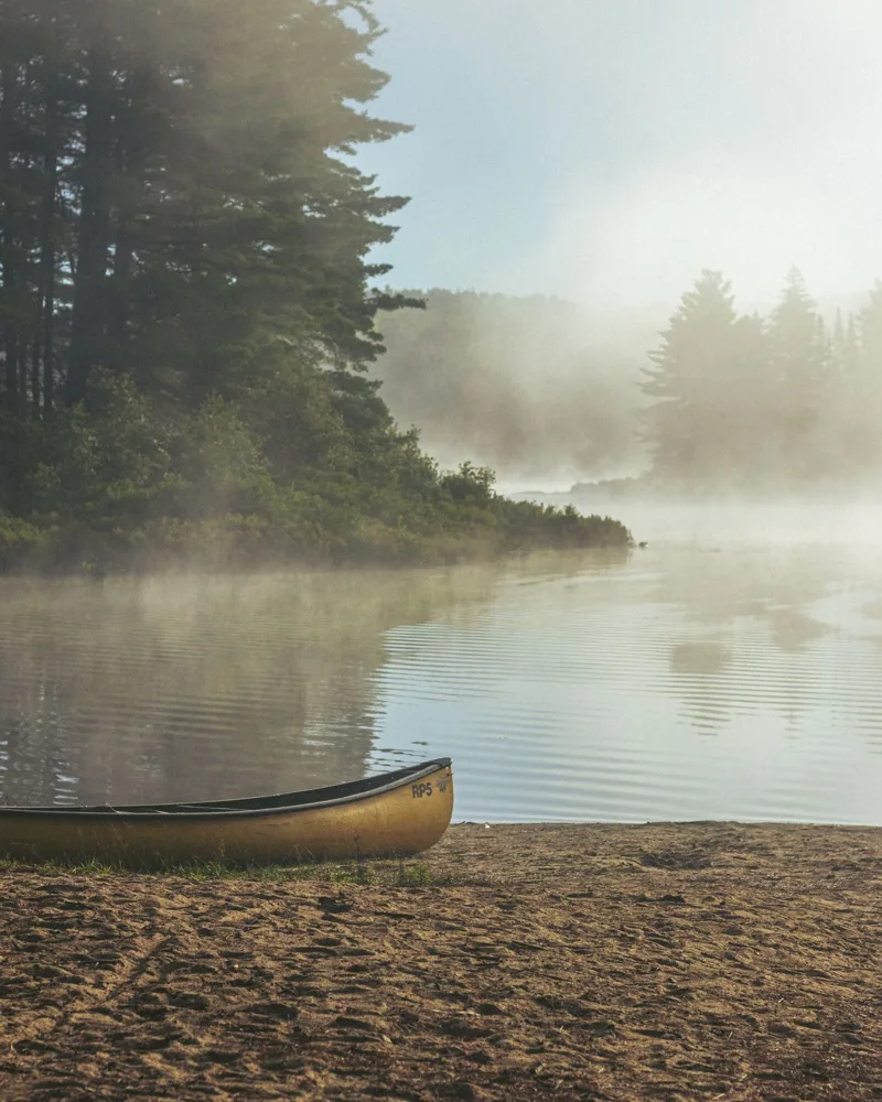
Big Kennisis is one of two neighbouring lakes in the Haliburton Highlands, beside Haliburton Forest.
Haliburton Forest borders the Kennisis lakes to the north and east. The lakes lie southwest of Algonquin Provincial Park.
Kennisis Lake Road, County Road 7, approaches through West Guilford.
Lake & road mapsA 2002 inventory counted 685 dwellings on Big Kennisis. The lake association now describes the shoreline as almost entirely developed; the older count is not a current total.
What the local reports say, area by area.
The lake plan describes rocky outcrops, treed slopes and scattered natural sandy beaches. A cottage on this lake does not automatically have a sandy entry.
Read the shoreline description ↗The plan places much of the shallow water and small wetlands in these areas. It does not identify individual cottages with weed-free water.
Read the lake plan ↗Historical shoreline notes. They do not confirm today’s water conditions or permission to use private waterfront.
The 2007 lake plan lists 641 seasonal and 44 permanent dwellings on Big Kennisis in its 2002 inventory. Vacant lots and resorts are separate. This is a historical baseline, not today’s total.
Kennisis lake plan, Figure 7.1, printed page 82KLCOA’s 2024 report describes reduced clarity since monitoring began in 1992, with lower phosphorus in recent years after earlier increases. Its association sampling programme is separate from the provincial records below.
KLCOA 2024 water-quality reportLook at the bottom underfoot, water depth at the dock, the slope into deeper water and plant growth in late summer. Ask how spring and late-season water levels affect access. A sheltered bay can feel very different from an exposed point on the same lake.
KLSA guide to plants and shoreline conditionsChoose a testing location to see its dated results. These are not swimming-safety tests.
Loading water records…
The lake association treats Big Kennisis and Little Kennisis as distinct lakes in its historical dwelling inventory. Confirm which lake, bay and road match the property. The monitoring records below use the provincial identifier for Big Kennisis only.
Look at the lake bottom, the slope into the water and the dock at the season you plan to use it. Ask for photographs from late summer and low-water periods. An open-water clarity reading cannot describe the plants or footing at a particular shore.
Ontario’s Fish ON-Line brings together fish species, depth contours where available, access points and fishing rules.
Use Ontario’s lake-map guideChecked October 13, 2026. The summary draws on the sources below. Older observations keep their original dates; buying considerations are editorial guidance.
Contains information licensed under the Open Government Licence - Ontario.
Bring the listing. We’ll work through the financing.