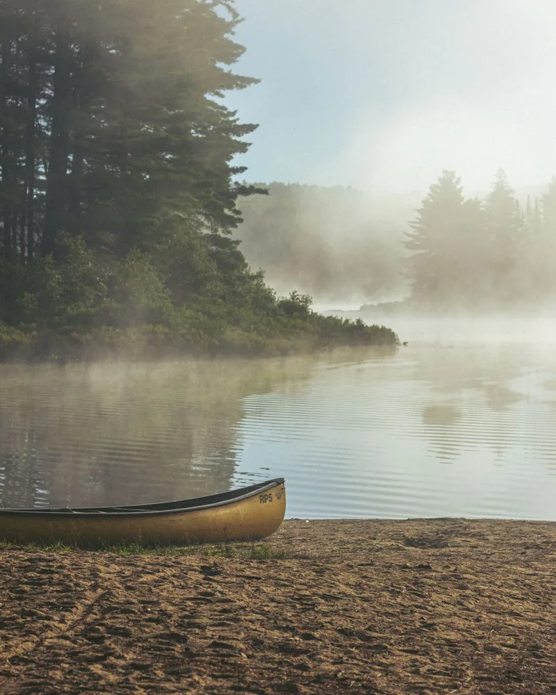
Life on Lake Muskoka
- Boating
121 km² of water to explore. The locks at Port Carling connect the boating route toward Lake Rosseau; passage depends on lock operation.
Port Carling locks- Swimming
Kirby’s Beach in Bracebridge has a sandy shore and shallow water. It is a public beach on Lake Muskoka, separate from the waterfront attached to a cottage.
Kirby’s Beach: location & facilities- Around the lake
Gravenhurst, Bala and Port Carling are useful places to start exploring. Pick the side of the lake that suits your drive and the services you use.
Lake facts & buying details
Lake size, shoreline & homes
121 km² · maximum depth 73 m
The provincial lake fact sheet lists an area of 12,100 hectares, mean depth of 18 m and maximum depth of 73 m. These lake-scale measurements do not tell you the depth at a particular dock.
Ontario MNR lake fact sheet, reproduced in township permit documentsRegulated at Bala
The fact sheet identifies the Bala dams and the Muskoka River Water Management Plan. Check dated water-level records and the property elevation when assessing spring conditions.
Township water-level informationWhat to check at the waterfront
Look at the bottom underfoot, water depth at the dock, the slope into deeper water and plant growth in late summer. Ask how spring and late-season water levels affect access. A sheltered bay can feel very different from an exposed point on the same lake.
KLSA guide to plants and shoreline conditionsWater clarity & testing history
Choose a testing location to see its dated results. These are not swimming-safety tests.
Loading water records…
Before buying a cottage here
Read the water-level history
The Township of Muskoka Lakes monitors Lake Muskoka during the spring freshet and links to water-level and flood-mapping resources. Use those records alongside the property’s elevation and the seller’s disclosure. A summer showing cannot tell you how the basement, dock or access road behaves in spring.
Check what reaches the water
Within Muskoka Lakes, a shore road allowance can affect a proposed boathouse or shoreline project. The township updated its shore road allowance policy in June 2026. Ask the lawyer to check title and ask planning staff which approvals apply to the actual lot. An existing structure, listing photograph or neighbour’s boathouse is not proof that the same work is permitted.
Make the budget property-specific
Compare a road-access cottage with a boat-access purchase separately. Include the dock, storage, winter arrangements, insurance and any private-road fees. Send Jeff and Emily the listing, intended use and down payment before relying on a mortgage estimate.
Questions for the showing
- Which municipality governs this lot?
- Does the survey show a shore road allowance or encroachment?
- What happened to this property during recent spring high water?
Fish, depth maps and public access
Ontario’s Fish ON-Line brings together fish species, depth contours where available, access points and fishing rules.
Use Ontario’s lake-map guideSources & dates
Checked October 13, 2026. The summary draws on the sources below. Older observations keep their original dates; buying considerations are editorial guidance.
- Port Carling locks
- Kirby’s Beach: location & facilities
- Ontario MNR lake fact sheet, reproduced in township permit documents (2010 fact sheet)
- Township water-level information (Source checked October 2026)
- Muskoka Lakes: water levels and flood mapping
- Muskoka Lakes: June 2026 shoreline policy update
- Ontario Lake Partner exports through 2025
- How we read the data
Contains information licensed under the Open Government Licence - Ontario.
A cottage on Lake Muskoka?
Bring the listing. We’ll work through the financing.